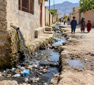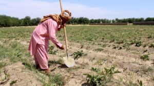
Panjshir, with its high mountains, deep valleys, and fast-flowing rivers, is known for its natural beauty but is also one of the most vulnerable provinces in Afghanistan to natural disasters. In recent years, some residents of the province have repeatedly complained of flash floods, rockfalls, landslides, and avalanches. In some cases, these events have seriously damaged farmland, bridges and culverts, water diversion structures, hydropower facilities, markets, and people’s homes.
The Panjshir Disaster Preparedness Authority says that 63 high-risk areas have so far been identified in three districts—Paryan, Rokha, and Bazarak—and that the risk identification process is continuing in other districts. But the main question is: Is the increase in these high-risk areas only because of Panjshir’s mountainous geography, or have climate change and human intervention also increased these risks?
Residents in some parts of Panjshir say that natural disasters have become more severe in recent years and are calling on authorities to take action to reduce the risks and protect people’s lives and property before disasters occur.
Khal Murad Ibrahimi, a resident of Dara district, considers climate change and the reduction in vegetation to be the main factors behind the increase in damage.
“The risks of floods, avalanches, and falling rocks have existed for a long time and still exist. In recent years, as the climate has changed, farmland, bridges and culverts, water diversion structures, hydropower facilities, markets, and people’s shops have been seriously damaged,” he says.
Tawakkul Rahmani, a resident of Karaman village in Dara district, also considers deforestation and the reduction in vegetation to be major factors behind the increase in risks.
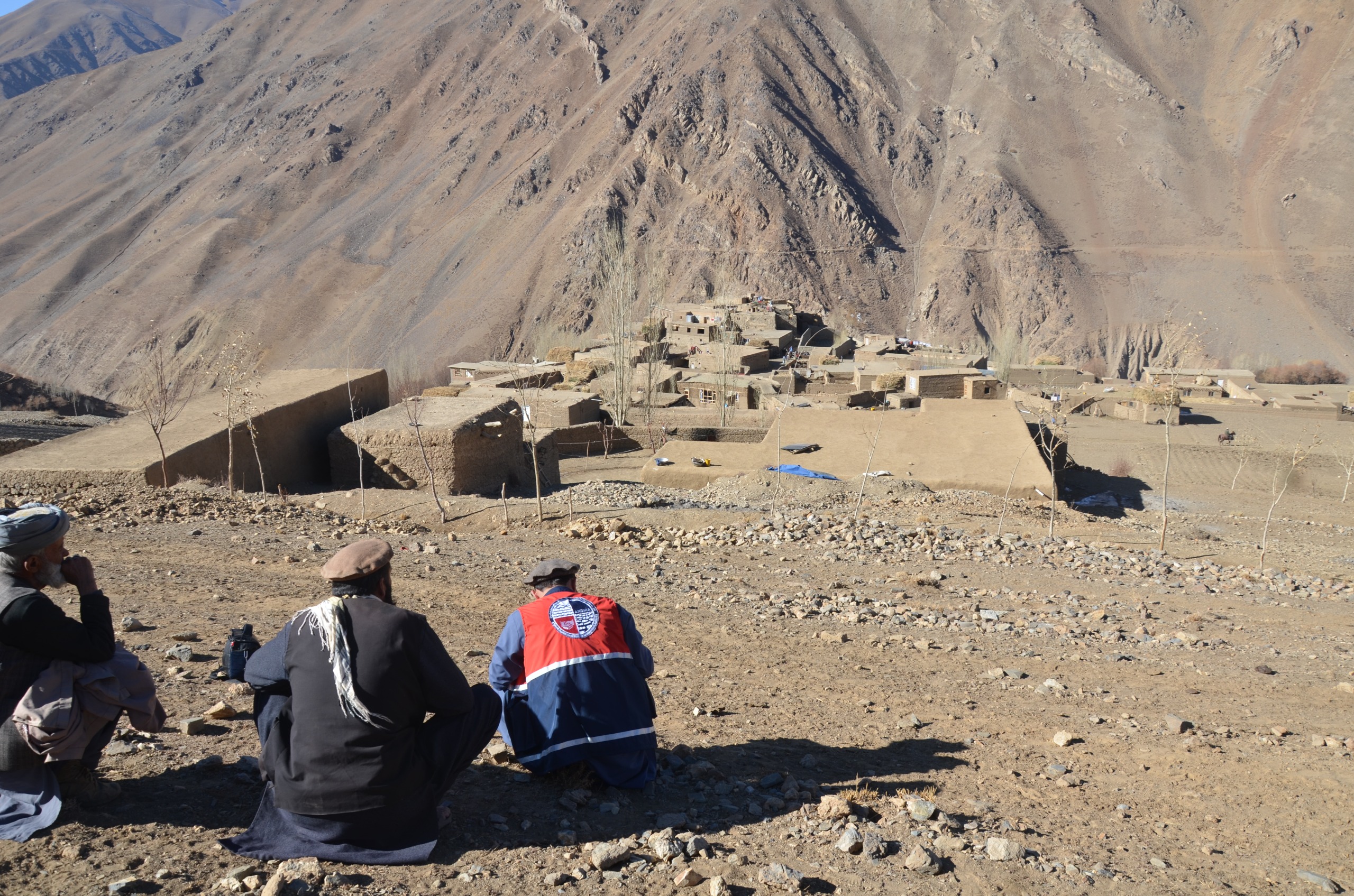
“The main causes are the destruction of forests and the reduction in vegetation compared with the past. People have used the forests, and this has caused more floods. People have greater expectations, but unfortunately, no serious action has been taken so far,” he adds.
Burhanuddin, another resident of Panjshir, calls for the establishment and strengthening of early warning systems.
“Our request to the relevant authorities is to ban construction in flood-prone areas and activate early warning systems. Since Panjshir is difficult to access and many people do not have access to the internet and electricity, it would be better to provide loudspeakers to mosque imams and local elders so that people can be informed and prepare on time,” he says.
Meanwhile, Mohibullah Jahed, head of the Panjshir Disaster Preparedness Authority, says that the risk identification process is continuing across the province. He says the purpose of identifying these areas is to plan for reducing risks before disasters occur. He explains,
“We have a plan to identify the entire Panjshir for natural disaster risks. We have completed the identification of three districts, including the provincial center: Paryan, Rokha, and Bazarak. Vulnerable areas have been identified, and the number of dangerous areas has increased compared with the past. Soil erosion caused by seasonal and unseasonal rainfall exists. Of course, if houses are built close to rivers and flood channels, the risk increases. Our message to the people is to avoid construction in dangerous areas.”
Water resources experts consider changes in rainfall patterns to be one of the important factors behind the increase in flash floods. According to them, heavy rainfall over a short period gives water less time to enter the soil, causing more water to flow into natural waterways. In addition, construction in riverbeds and flood paths increases the amount of damage—an issue that Panjshir disaster management officials have also emphasized the need to prevent.
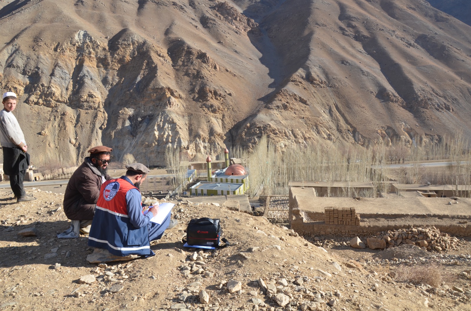
Saifuddin Laton, spokesperson for the governor of Panjshir, says that tens of millions of Afghanis have been spent on controlling floods and reducing damage.
“Rainfall has increased relatively, and tens of millions of Afghanis have been spent on dams to control floods and prevent soil and rocks from falling. Retaining walls have been built, and bridges and culverts have been repaired or constructed. In the past, rainfall in Panjshir caused disasters, but now this is no longer the case,” he says.
Mahfoz Kohistani, head of the Panjshir Department of Environmental Protection, highlights the role of climate change. He explains,
“Climate change plays a very important role in increasing natural hazards, particularly rockfalls, floods, and avalanches. Every year, we witness incidents related to climate change in all districts of Panjshir. Rising temperatures have caused glaciers to melt, and climate change may contribute 60 to 80 percent to the increased likelihood and severity of these hazards. The reduction in forests and vegetation is also one of the important factors increasing these risks.”
Similarly, Zelgai Naseri, a water and environmental expert, also emphasizes that floods are not caused only by the amount of rainfall.
“The loss of vegetation, soil erosion, non-standard construction in riverbeds and along rivers, and global warming cause more evaporation and heavy, sudden rainfall. This makes floods more difficult to predict. Solutions include building diversion structures and check dams, restoring forests, and increasing vegetation cover,” he says.
The identification of 63 high-risk areas in Panjshir is a serious warning about the province’s vulnerability to floods, rockfalls, landslides, and avalanches. Experts emphasize that, alongside construction and other measures, watershed management, forest protection, preventing construction in flood paths, and strengthening early warning systems are necessary to reduce these risks.